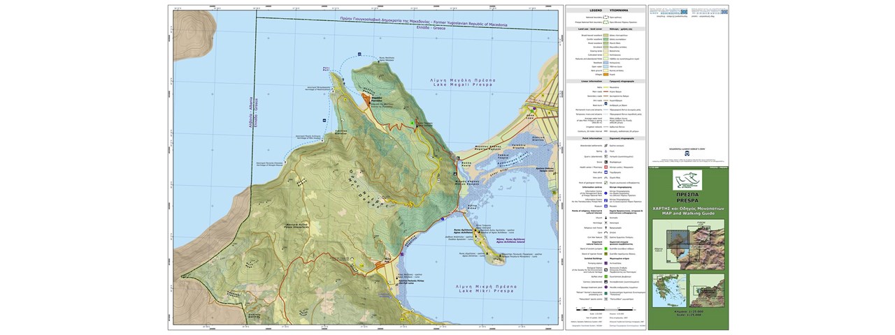
Description
Design and realization of Data Base and digital maps with eco-touristic information. Supply and processing of satellite images (very high resolution, IKONOS, 1m, 2006 acquisition). Delimitation and classification of land cover / land use polygons, digitization of linear and point entities through photo interpretation of satellite images.
Field surveying; Verification of land cover / land use and measurement of control points coordinates. Integration of Points of Special Interest (e.g Resting locations, Information Center, Meadows with Daffodils, etc.)